

Powder Project
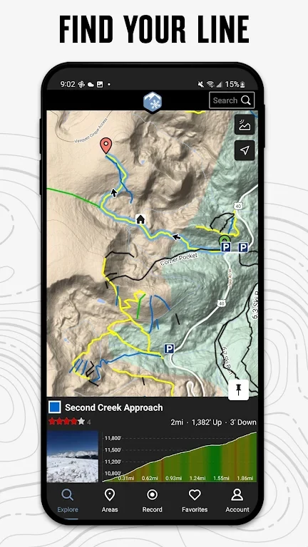
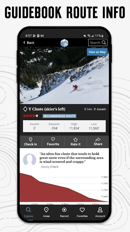
Adventure ProjectsPowder Project is a ski-line guide for finding recommended routes near your location or in an area you search. It combines map-style information with GPS route details, elevation profiles, photos, and a database of ascent and descent trails.
Screenshots
About this app
Powder Project is a guide to ski lines, combining map-style information with route details for exploring areas near your location or elsewhere. It presents GPS route information, elevation profiles, interactive features, and photos to help users review lines and plan where to ski.
Finding and assessing ski lines
The app offers selected ski lines recommended by local experts. Users can look for options near their current location or search a specific area. Listings may include highlights, challenging features, and other insights from local contributors, giving context for considering a route before heading out.
Route details and elevation profiles support advance planning. The guide also includes photos and interactive features alongside its map-style presentation, bringing together several kinds of information about ski lines in one place. The source describes the recommendations as a curated selection rather than simply a list of routes.
Trail coverage and updates
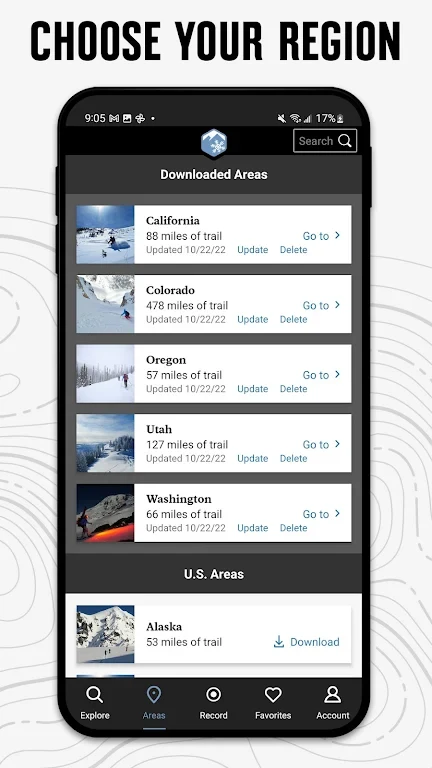
Powder Project includes a database of ski ascent and descent trails. Its description reports more than 800 miles of backcountry, sidecountry, and other ski lines. These categories give users different kinds of routes to explore, while the route details and elevation profiles offer information for comparing options.
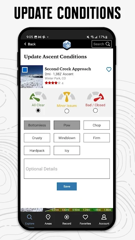
The description also says that new lines are added to the database regularly. This means the guide is intended to grow its route selection over time, although the source does not specify an update schedule or provide details about particular additions.
Photos and trip planning
Along with viewing photos, users can use the app's interactive features to take and share images of ski outings with its community, according to the description. These images can show scenery, route features, or moments from a trip. Before setting out, users can consult the available route information and elevation profiles to plan their chosen lines.
Version history
View all08 Aug 2024 · stable